

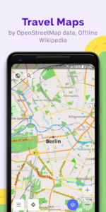
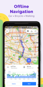

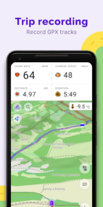
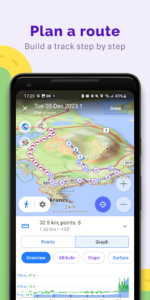
OsmAnd is an open-source world map app that operates without an internet connection, relying on OpenStreetMap (OSM) data. It enables users to navigate routes tailored to preferred roads and vehicle dimensions, and to plan journeys based on terrain inclines. A key capability is the recording of GPX tracks, which can also be managed and displayed directly within the app, providing visual data on descents and ascents.
Offline Navigation and Routing
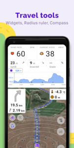
The app allows for plotting routes to specific destinations without requiring an active internet connection. Users can customize navigation profiles for various modes of transport, including cars, motorcycles, bicycles, 4×4 vehicles, pedestrians, boats, and public transport. Routes can be further refined by excluding certain roads or road surfaces. During navigation, customizable information widgets display details such as distance, speed, remaining travel time, and distance to the next turn.
Map Customization and Data Management
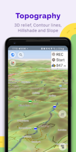
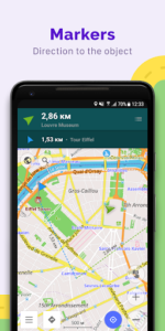
OsmAnd offers a range of map styles to suit different activities, including touring, nautical, winter and ski, topographic, desert, and off-road views. It supports shading relief and contour lines through a plug-in, and allows for overlaying different map sources. Users can select specific points of interest to display on the map, such as attractions, food establishments, or health services, and search for places by address, name, coordinates, or category. The app also facilitates the creation of personal points of interest, including Favorites, Markers, and audio/video notes.
GPX Track Functionality
Beyond recording, the app provides tools to manage GPX tracks. Users can display their own recorded tracks or imported GPX files on the map and navigate along them. Visual data, such as descents and ascents, and overall distances, are available for these tracks. There is also an option to share GPX tracks within the OpenStreetMap community.
OpenStreetMap Integration and Community
OsmAnd is built on OpenStreetMap data, allowing users to contribute by making edits directly within the app. Maps can be updated with a frequency of up to one hour, ensuring access to recent changes. The app also benefits from a large global user community, offering documentation and support.
Additional Tools
The app includes several supplementary tools to enhance map interaction. These include a compass and a radius ruler for measurements. It also features a Mapillary interface for street-level imagery, a night theme for improved visibility in low light, and integration with Wikipedia for information about places. Recent updates include a refreshed search interface with sorting and category filters, support for attaching photos and media to Favorites, and the ability to organize Favorites into subgroups and pinnable folders. Coordinate search, map grid, and POI display now support EPSG and Maidenhead locator formats. The app also added new spatial search capabilities to find places around a specific location and includes astronomy features such as solar and lunar eclipses.







Write a review